
Mililani Town ZIP Coverage
The official USPS material inspected for the Mililani Town ZIP code directory identifies 96789 with the preferred city label “MILILANI HI.” That is the sound postal anchor for the core community. It is not a list of every resident or a line around Mililani Town. The live USPS ZIP Code Lookup should decide the postal result for a particular street and unit because delivery data changes and edge addresses can behave differently.
| ZIP | Documented scope | Postal check | Boundary note |
|---|---|---|---|
| 96789 | Primary Mililani label in the reviewed USPS source | Confirm each full address in the live USPS tool | Does not define the CDP, MTA, or Board 25/35 |
| Other ZIPs | No added ZIP for the core Mililani Town CDP was found in the official sources | Verify any boundary address directly | A nearby place or institution may carry another label |
| PO box or unique ZIP | No Mililani-specific example was located | Do not infer one from a commercial directory | Use only an address-specific USPS result |
This narrow result is useful. It prevents the ZIP code directory from manufacturing coverage that the source set does not support. Mililani Memorial Park is a good caution: “Mililani” appears in its name, while its operator address uses Waipahu. A familiar place name does not settle the postal city, parcel location, or Census geography. Record the name and the USPS output as separate facts.
Mililani Records Have Five Footprints
“Mililani” can mean the USPS 96789 label, Mililani Town Census CDP 1551050, the Mililani Town Association community, a Neighborhood Commission district, or a City TMK parcel. Each authority updates on its own schedule. The Census profile reports 28,121 residents in 2020 across 4.01 square miles, while Mililani Mauka is a separate CDP. Those counts are statistical context, not postal delivery counts.
Board 25 covers Mililani–Waipiʻo–Melemanu. Board 35 covers Mililani Mauka–Launani Valley. The official neighborhood plan is the right boundary source for a civic question. MTA rules apply to its managed community, not to all mail labeled Mililani. This is the central myth to discard when using a Mililani Town ZIP code.
The Neighborhood Commission Office shows where public board records begin. The captured NCO page below is a useful handoff from postal geography to civic geography.
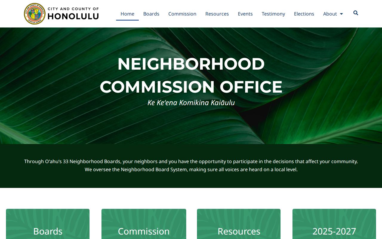
The image points to the official board system, which should be checked by map or legal description rather than guessed from a ZIP label.
Find Mililani Residents by ZIP
A ZIP narrows an address search, but official sources do not provide a general Mililani Town resident list. Start with postal validation, attach a parcel identifier when one exists, and use only the public record that fits the purpose. The property and GIS systems accept an address or TMK, while the voter verification form is identity-gated. It must not be treated as a public name-and-address directory.
- Enter the complete address in USPS lookup. Save the standardized street, unit, city label, ZIP, and ZIP+4 if returned.
- Search the address in Honolulu GIS and retain every TMK form, parcel type, and physical-address label.
- Use the TMK or site address in the City property search. Note the assessment year before reading any parcel fields.
- For election records, use the Elections route only for a permitted election or government purpose. Self-verification requires private credentials.
- Once the result narrows to a named road, use the Mililani Town street directory workflow instead of treating all of 96789 as one block.
Keep the source date beside each result. USPS, GIS, RPAD, Census, NCO, and MTA may all be correct while describing different areas or different dates. A no-result response can mean a unit format is wrong, the city label differs, or a portal needs the TMK instead of the postal address.
Mililani ZIP Search Fields
The strongest crosswalk stores what each custodian actually returned. Do not replace one identifier with another. Honolulu GIS can expose TMK, ZSP, parcel type, TaxPIN, physical address, and source fields; DPP and BOC may require another form of that same TMK.
| Source | Input | Keep from result | Meaning |
|---|---|---|---|
| USPS | Street, unit, city/state | Standardized address, ZIP, ZIP+4, city label | Delivery format |
| HoLIS | Address, TMK, or POI | TMK, parcel type, geometry, physical address | Parcel/map context |
| RPAD | Site address or Property ID/TMK | Assessment year, class, land/building fields | Tax assessment record |
| NCO | Official boundary map or description | Board number and source date | Civic district |
A CPR unit can add digits to the TMK, and DPP may show a leading island digit. Preserve punctuation and leading zeros before trying alternate portal formats.
96789 and Mililani Community Records
The Mililani Town Association resident resources add a community layer, but MTA does not publish a household directory. Its forms, notices, facilities, and public rules can confirm local context. They cannot prove that every 96789 household belongs to the association or disclose who occupies a home.
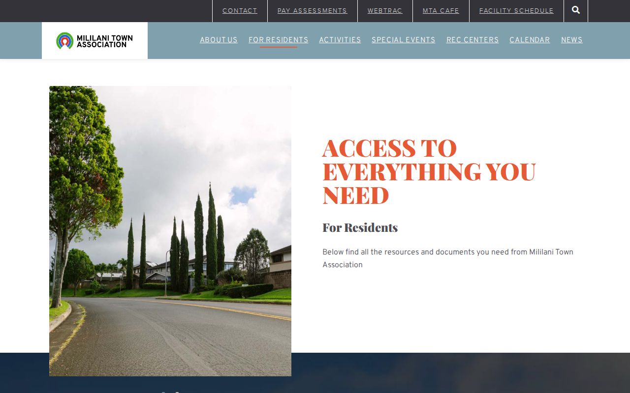
The captured page illustrates why the association should remain its own source category. Public resources describe membership administration, while private account data stays private.
The official Neighborhood Board 25 event listing shows another public layer serving the Mililani–Waipiʻo–Melemanu area.

The event page ties a meeting to its civic board, not to every address in ZIP 96789, so keep board and postal boundaries separate.
MTA’s public ID-card rules make the limit plain. Registered household members may be tied to a member account, but that account is not a public resident roll. The MTA ID-card page explains the official process without exposing household names.
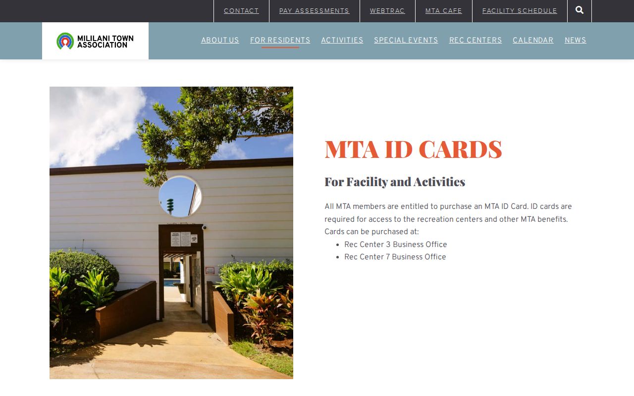
The image supports a key ZIP code directory rule: postal inclusion, association eligibility, and current occupancy are three different questions.
Mililani ZIP Versus Local Boundaries
Mililani Town is not an incorporated city with its own municipal limit. It is a Census-designated place and planned community within the City and County of Honolulu. Therefore, “ZIP versus city limits” is really a comparison among postal, statistical, parcel, civic, and association lines. Use USPS for delivery, Census for the CDP, HoLIS for parcel geometry, NCO for board geography, and MTA for its own managed footprint.
- ZIP and ZIP+4
- A ZIP groups delivery routes. ZIP+4 narrows the delivery segment for a specific address or group of boxes.
- PO-box ZIP
- A code assigned chiefly to post-office boxes. None specific to Mililani was confirmed in the reviewed official sources.
- Unique ZIP
- A code assigned to one high-volume organization. No Mililani example was confirmed.
- Carrier route
- A postal delivery path within a ZIP. It is not a Census, parcel, or neighborhood boundary.
Boundary rule. When sources disagree, keep every exact label and date, then let the authority for the question control the answer.
ZIP Filters Need Portal Context
A ZIP field can work differently from a map boundary. Hawaiʻi’s official covered-offender portal, for example, offers city, radius, and ZIP options, but its published guidance says a radius search ignores ZIP. That detail shows why no ZIP-capable form should be read as a universal definition of Mililani Town.
For ordinary resident research, use a ZIP only to narrow the lawful official source. Do not merge a postal result with voter, association, or registry data to build a household list. The Elections self-service tool asks for name, birth date, part of a Social Security number, Hawaiʻi ID information, and CAPTCHA. Those fields exist to verify the elector, not to let someone browse a block.
Date Every Mililani ZIP Result
Time can explain an apparent conflict. A current ZIP may sit beside a historic street name. A current TMK may reflect a parcel split, consolidation, common-area dedication, or CPR creation. An older directory can use a former number or landmark. The house-history research warns that streets were renamed or renumbered and that printed addresses can be wrong.
Save the input, the official output, and the date checked. Mark any old-to-new address match as an inference until a map, permit, deed, newspaper, or City record supports it. That small audit trail turns a ZIP code directory hit into a source a family historian or property researcher can verify.
Note: A current postal label does not update the date or scope of an older parcel, directory, board, or association record.