
Walk a Mililani Town Street
A street-by-street search works best as a chain of identifiers. Ownership is approached through assessment and recorded land roles. Occupancy needs separate, dated support and often cannot be established from public sources. Keep the exact USPS address, the HoLIS map result, every TMK format, and each source date. “Mililani,” “Mililani Town,” “Mililani Mauka,” “Waipiʻo,” and “Melemanu” can point to different postal or civic footprints.
- Check the address in USPS ZIP Lookup and save its standardized street, unit, city label, and ZIP.
- Search Number and Street in HoLIS, open the parcel, and record its TMK, parcel type, physical address, and map date.
- Open the same TMK in RPAD and note the assessment year, land and building fields, and any clearly labeled owner role.
- Use the TMK in DPP permit search and BOC Data Search, preserving every applicant, party, and instrument label.
- For an earlier household, check a dated criss-cross directory, telephone book, map, newspaper, or archive source.
The chain is address → parcel → TMK → assessment and permit roles → recorded instruments → dated historical sources. A missing step stays unresolved. It should not be filled with a commercial list or a guess.
Normalize Mililani Town Addresses
USPS ZIP Lookup is the authority for delivery format. Its result may standardize the street suffix, unit, city label, ZIP, and ZIP+4. It does not define a parcel, prove ownership, or tell whether an address lies in the Census CDP or MTA boundary.
Save the input and returned label. If the tool gives no match, try the official unit and city format rather than borrowing a ZIP from a nearby home. The reviewed Postal Bulletin ties MILILANI HI to 96789, but an edge address still needs a live lookup.
Note: A postal city name is a delivery label, not a Mililani Town municipal boundary.
Map Mililani Town Street Parcels
The official Honolulu GIS and HoLIS route accepts an address, TMK, or point of interest. Parcel clicks can expose a physical address, TMK, parcel type, area, source records, and links to property or permit reports. The landowner layer states a June 3, 2025 parcel date and an approximate quarterly update cycle.
| HoLIS tool | Input | Street result |
|---|---|---|
| Address search | Number + Street | Candidate POI and TMK |
| Advanced search | TMK or POI | Exact parcel popup |
| Layer controls | Cadastral / regulatory toggles | Parcel context |
| Parcel click | Map polygon | Type, area, address, links |
| REST query | Structured fields | JSON or GeoJSON, 2,000-record cap |
Inspect the official Oʻahu TMK layer shown below.
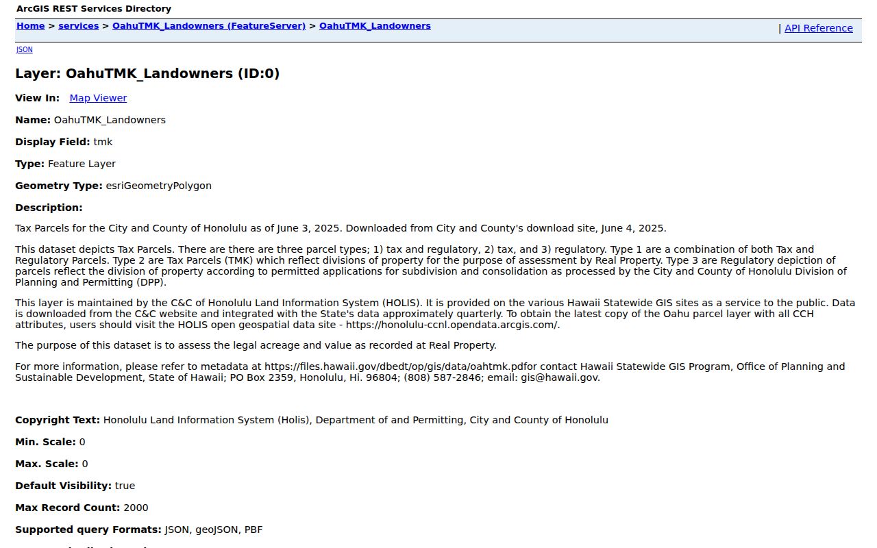
The schema helps a street directory preserve parcel type and data date before interpreting any landowner field.
Read Mililani Town Assessment Fields
The Real Property Assessment Division connects a site address or TMK/Property ID to assessment, classification, tax, land, and building facts. A result may include land area, living area, bedrooms, bathrooms, and historical values. It is a property record, not a resident roll.
RPAD's annual calendar also affects meaning. Notices are due by December 15, appeals by January 15, and the certified roll by February 1. A later change may not appear until another cycle. The research confirmed address and TMK searches but did not confirm a current owner-name search or mailing-address display, so neither capability should be promised.
Open the official RPAD source captured here.
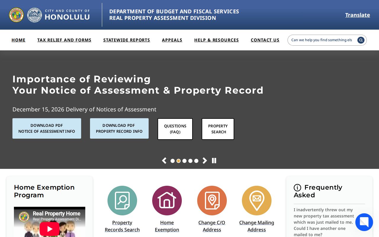
The assessment page supplies the official portal and custodian for year-specific parcel facts.
Mililani Town Parcel Terms
Address systems use similar words for different facts. Define them before copying a name from one source to another. This matters in Mililani Town, where condominium-property records, common areas, road parcels, and regulatory polygons may all appear on a street map.
- Parcel
- A mapped land unit; it may not contain a home.
- Situs address
- The physical property address, distinct from a notice or mailing address.
- Plat
- A recorded map describing lots, boundaries, or a subdivision.
- Criss-cross directory
- A dated directory organized by street and number rather than only by surname.
A tax-and-regulatory parcel, tax-only parcel, and regulatory-only parcel can behave differently in the map. The map itself warns that it is not a legal survey.
Permit Trails Along Mililani Streets
Honolulu DPP guidance confirms searches by application or permit number and TMK. Results can include Details, Approvals, and Plan Reviews. Visible roles may include applicant, owner, contractor, architect, designer, or assigned staff. Each is a project role and must not be recast as a resident.
Full project files and prior plans may require the Data Access and Imaging Branch at 808-768-8277 or dppdaib@honolulu.gov. Historic permit files from before January 1972 may be absent or offline. A focused request gives the exact site address, TMK, application number, desired dates, document type, and electronic format.
Review the captured DPP permit guidance.
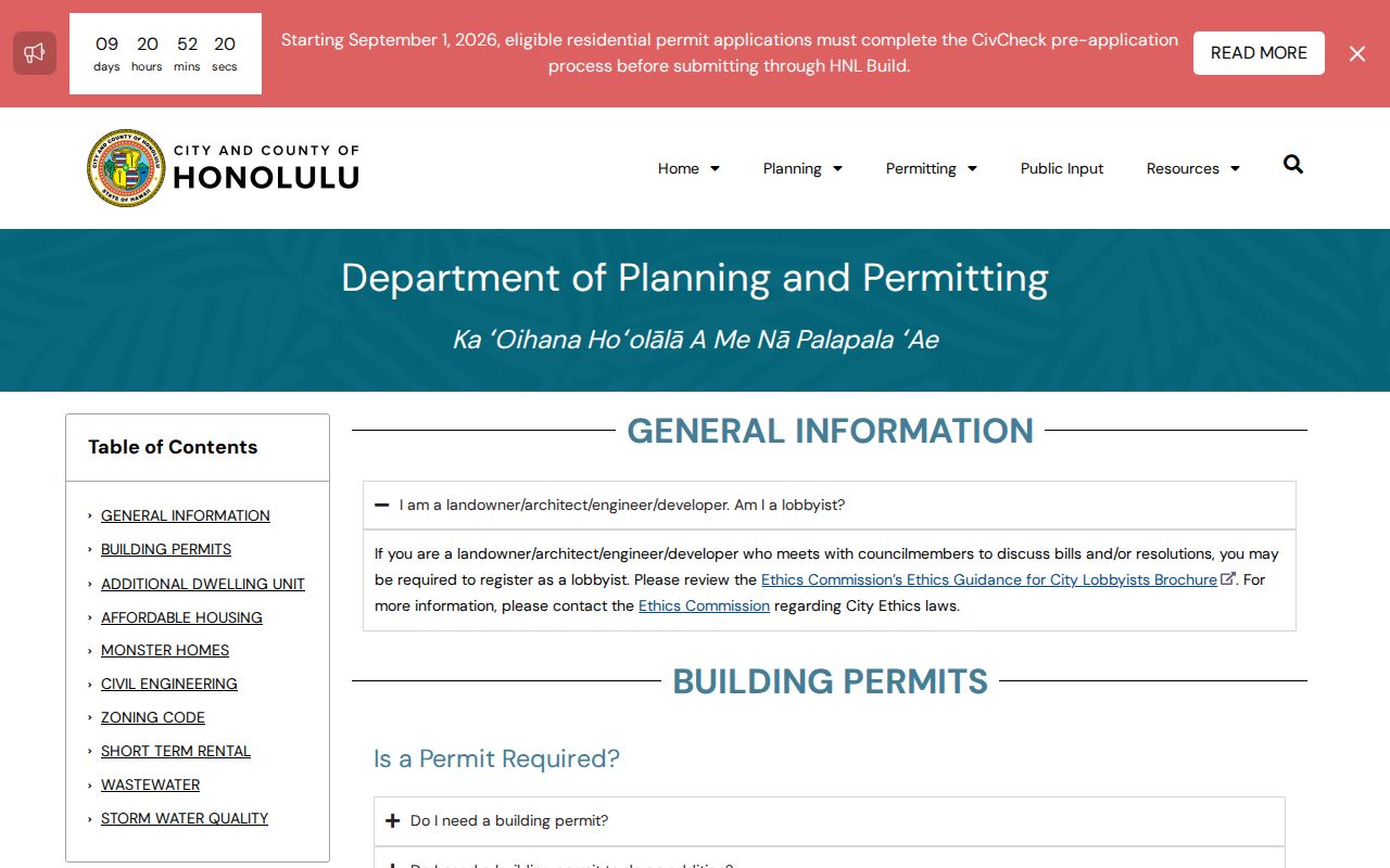
The fallback route keeps a street search moving when the public screen shows only a summary.
Mililani Town Records by Street
Several official records accept an address or the TMK derived from it. Their roles do not overlap. Combining them can strengthen a parcel history, but it still does not create a current Mililani Town household list.
| Record Set | Keeper | What It Shows | Access |
|---|---|---|---|
| Assessment | Honolulu RPAD | Parcel, class, building, tax fields | Public portal |
| GIS parcel map | HoLIS / DPP | Geometry, TMK, type, source links | Public map and REST |
| Recorded instruments | State BOC | Deed, mortgage, release, easement parties | 1976-forward index; older fallback |
| Voter files | Honolulu Elections | Authorized list fields | Purpose-controlled request |
| Building permits | Honolulu DPP | Project and approval roles | Portal, DAIB, or UIPA |
| Historic directory | Archives / libraries | Dated subscriber or address clue | Scans, shelves, microfilm |
The parcel number links RPAD, HoLIS, DPP, and BOC. The street string links USPS and historical address sources. Preserve both. For the historical shelf itself, use the Mililani Town city directory collections rather than treating one volume as a modern list.
Deeds Along Mililani Town Streets
BOC Data Search supports TMK, TCT, document number, grantor, grantee, and recording-date searches. Start with the parcel TMK and inspect the instrument type. Reverse grantor and grantee roles to trace an earlier transfer. Names in a mortgage, release, easement, trust, or estate filing mean different things.
Online indexing begins in 1976. Earlier street research moves to the Bureau's office, deed books, microfilm, or a written request. The historical request instructions ask for useful identifiers, requester contact, certified status, payment, and a self-addressed stamped envelope. Confirm current charges before ordering.
Note: A recorded owner can live elsewhere, and a deed never lists every person at an address.
Mililani Town Voter Street Limits
Hawaiʻi's online voter form is identity-gated self-service. It requires name, birth date, partial Social Security number, Hawaiʻi ID information, and CAPTCHA. It cannot be browsed by street. Public voter data follows a separate Elections process under HRS §11-97 and needs an election or government purpose.
Authorized public-list fields can include name and principal residence along with district, precinct, and status. Sensitive verification fields remain excluded. A date and file version are essential because registration changes through moves and list maintenance. No source found a public Mililani street roster for casual neighborhood research.
Mililani Town Incident Records
Some address facts live outside parcel systems. The Honolulu Fire Department request form accepts property-record and incident categories, including inspection status, tank records, incident history, fire, hazardous-material, rescue, medical, vehicle, and wildland events. Give the location, date, and report number when known.
Honolulu Police report requests require requester details, a report number or incident date, time and location, involved names, requested record type, and identification. Completed records can carry redactions. HPD does not provide general resident research.
See the HPD request guidance captured below.
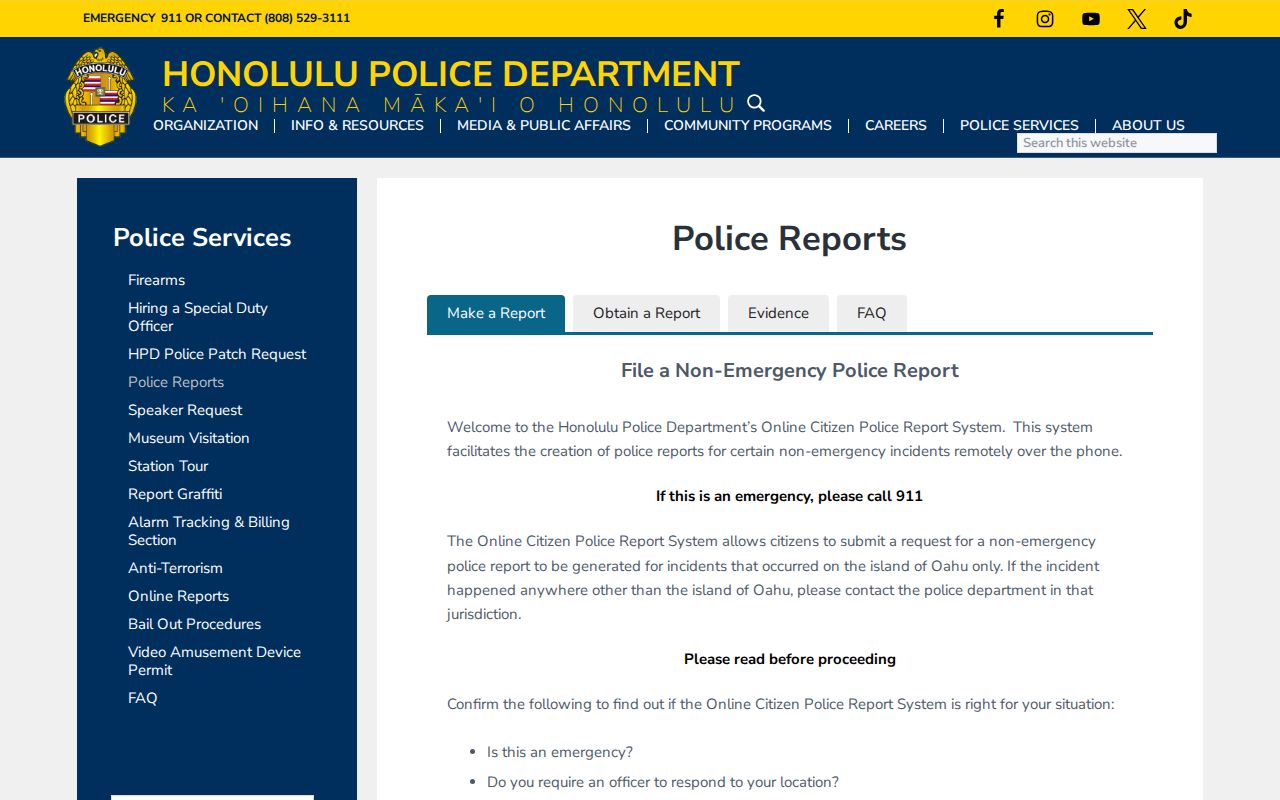
The official route confirms that an address-keyed report is a specific incident record, not a directory entry.
Mililani Town Grid Over Time
Mililani Town's planned-community history makes time a key address field. State material places the first homes in 1968, and the 1978 Mililani Town Expansion EIS records later planning and infrastructure. Mililani Mauka construction began in 1990 in the cited state narrative. These milestones do not date each house, but they explain why an old Honolulu directory may not contain a modern road.
The house-history guide warns about renamed or renumbered streets, wrong historic addresses, and old landmarks. No official Mililani-specific renumbering table was located. When an address disappears, check a plat, permit, EIS, deed, newspaper, and historic map. Mark any modern crosswalk as an inference until a dated source confirms it.
Hazards by Mililani Town Address
The City's Oʻahu Hazard Explorer launched in June 2026 and adds current geographic layers to an address search. Use it only after HoLIS identifies the right parcel. Hazard results describe place-based context, not a resident, title, or current occupancy.
This timely layer also shows why one screenshot date cannot stand for every system. USPS, GIS, RPAD, DPP, BOC, and hazard data update on separate schedules. Save the source date beside each result and revisit a time-sensitive map before relying on it.
Limits of Mililani Street Directory
A Mililani Town street directory cannot show a full present household. RPAD records parcels and assessments. BOC records legal instruments. Permits record project roles. A directory records one edition. Utility and delivery customer lists were not found as public resident lookups, and driver data is restricted by the federal DPPA and HRS §286-311.
The Hawaiʻi Address Confidentiality Program and protected-public-servant rules may shield a location. Court files, vital records, police records, and voter data have their own privacy limits. Do not cross-match sources to defeat a substitute or protected address. If a safety flag appears, stop and ask the custodian what can lawfully be released.
Lawful use. Mililani Town address records support lawful personal and civic research. Never use them to stalk, harass, intimidate, or harm a person.
Keep unresolved roles unresolved. A no-result may mean an older system, variant TMK, sealed record, missing directory, wrong spelling, or different land system. It does not prove the person or event never existed.