
Mililani Neighbor Record Sources
Official records describe a block in layers. HoLIS shows parcel geometry and identifiers. RPAD adds assessment and building context. Neighborhood Commission records describe civic boundaries and public issues. MTA publishes facilities, notices, rules, and meeting material while keeping member accounts private.
| Source | What It Shows About a Block | Access |
|---|---|---|
| HoLIS map | Adjacent polygons, TMKs, types, addresses and areas | Public map/REST; date and disclaimer apply |
| RPAD | Assessment, class, land and building context | Address or TMK; no household list |
| NCO Boards 25/35 | Boundaries, agendas, minutes and public issues | Public board pages; no resident roster |
| MTA | Facilities, rules, notices and place names | Public site; member accounts private |
| USPS/Census | Postal label or statistical boundary | Not ownership or occupancy |
An owner field may be stale or tied to a trust. A parcel may be a road, utility space, recreation site, or common area. Geometry proves adjacency only, not a shared owner, current occupant, relationship, or access right.
Mililani Neighbors Begin in HoLIS
The official All Parcels GIS layer exposes TMK, parcel UID, type, POI, recorded area, subdivision, source documents, and developer lot fields.
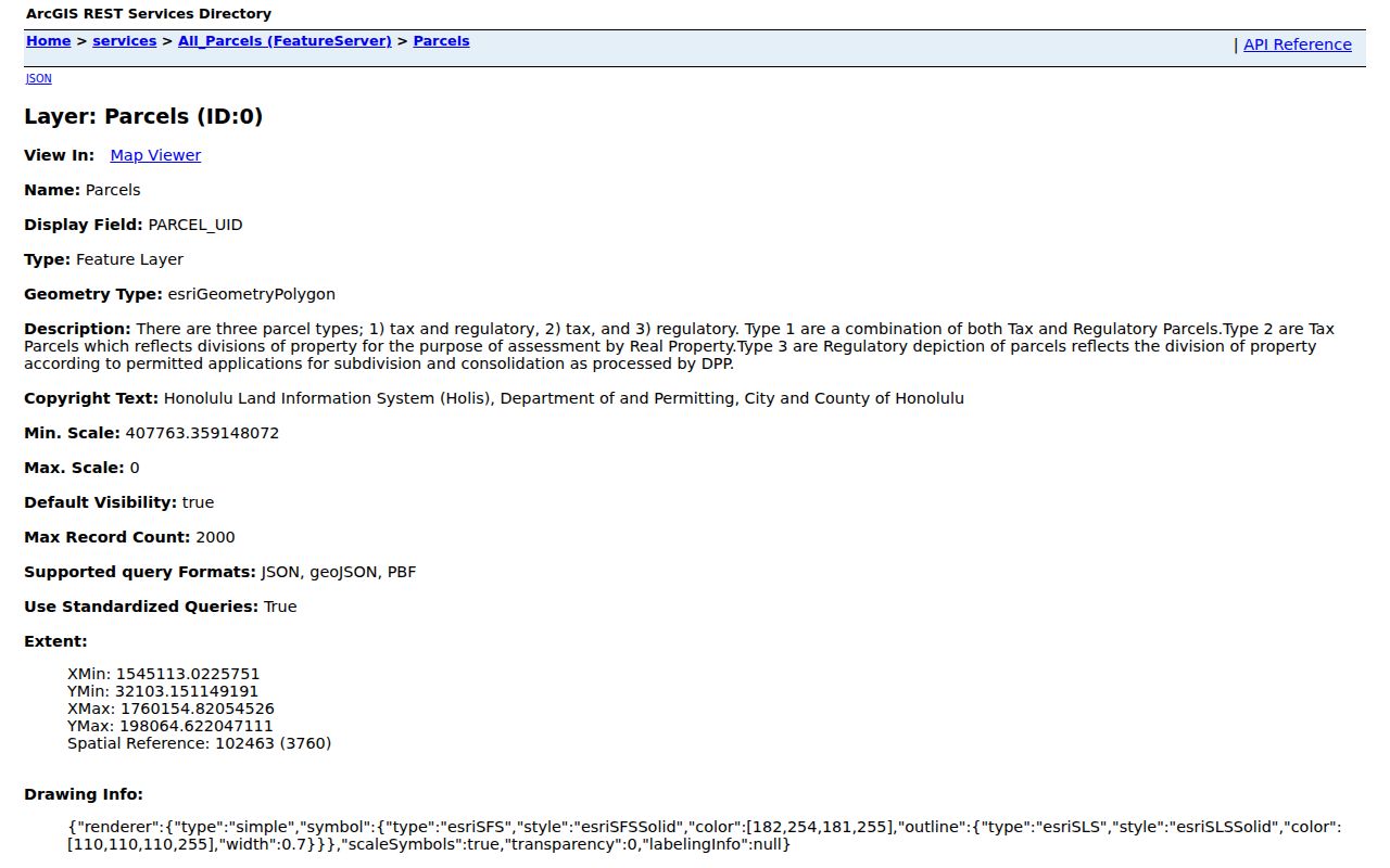
The captured layer is not a legal survey. Codes distinguish tax-and-regulatory, tax-only, and regulatory-only polygons, so classify a click before calling it a neighboring home.
Map Mililani Town Neighbors
Use one known address as the map anchor. Save the exact input, TMK, parcel type, layer date, and official URL before moving outward. The goal is immediate block context, not personal profiles.
- Normalize the street and unit with USPS, then locate it in Honolulu GIS.
- Record the subject TMK and type. Click only immediately touching polygons.
- Keep public identifiers, physical address, subdivision or lot, source fields, and map relationship.
- Use RPAD only for a relevant parcel and label its assessment year.
- For a whole road, move to the Mililani Town street directory.
Leave blank or stale fields unresolved. The sound block record is a dated map, public parcel identifiers, official links, and a note about what remains unknown.
Boards Frame Mililani Neighbor Issues
Board 25 covers Mililani–Waipiʻo–Melemanu. Board 35 covers Mililani Mauka–Launani Valley. The official boundary plan uses H-2, Leilehua Golf Course, Mililani Memorial Park Road, Kipapa Stream, and Waikele Stream. Never assign a board from ZIP 96789 alone.
| Public body | Area or function | Public neighbor context |
|---|---|---|
| Mililani Town Association | Planned-community management | Rules, notices, minutes, facilities; no roster |
| NCO Board 25 | Mililani–Waipiʻo–Melemanu | Agendas, minutes, events, road issues |
| NCO Board 35 | Mililani Mauka–Launani Valley | Separate civic route for Mauka |
Board 25 traces its boundary history to 1975, and current material describes a 23-member board. Names in minutes show officials or participants at that meeting, not a neighborhood resident list.
Mililani Neighbors Share Landmarks
MTA’s 2024 reserve study identifies seven recreation centers, an administration building, warehouse, pedestrian overpass, two pedestrian tunnels, pools, courts, meeting spaces, and landscape systems. These facts explain local routes and facility references without exposing member data.
The public ID-card process shows the limit. Household members may be tied to a private account, while public pages explain rules and access. An association notice can describe a facility or attendee, but it cannot be expanded into a household directory.
Public MTA notices can still help orient a block. A recreation center, tunnel, overpass, meeting room, or landscaped common area may explain why a parcel or road is discussed in association material rather than in a City department file. Keep the custodian clear. MTA community management, City parcel regulation, and Neighborhood Commission civic discussion are three distinct systems.
Build a Mililani Block Record
A careful block note stores the USPS-normalized address and ZIP, the HoLIS map URL and exact TMK, parcel type and recorded area, the RPAD assessment year, and the NCO board source. Add a DPP permit anchor only when the parcel or project calls for it. Include MTA context only for a facility, rule, or public notice within its scope.
Historical street names belong in a separate dated field. Search exact street wording in City communications, DPP records, MTA notices, newspaper files, and older directories. Broad terms such as Kamehameha Highway can return results from far beyond the block, so add Mililani, Waipiʻo, Melemanu, a subdivision, TMK, or date range.
Finish with the inspection date and an explicit statement that the note is not a current resident list. That small safeguard stops parcel geometry, public speakers, and past names from being blended into a false household claim.
Mililani Blocks Gain Hazard Context
The City launched Oʻahu Hazard Explorer in June 2026. Its address and map results can add tsunami, flood, wildfire, dam or levee, and other hazard context to a public facility or sample parcel. This is a current geographic layer, not a statement about any person, title, owner, or occupant.
Use the same source-date discipline as the parcel map. Record when the hazard result was checked and which address or geometry it used. A hazard layer may update on a different cycle from HoLIS, RPAD, NCO, or MTA. Apparent disagreement can reflect scope and timing rather than an error.
Mililani Voter Data Is Restricted
Hawaiʻi’s online voter tool asks the elector for name, date of birth, the last four digits of a Social Security number, Hawaiʻi driver-license or ID information, and CAPTCHA. It supports registration, updates, and confirmation. It is not a way to browse Mililani Town neighbors by name or block.
A public voter list follows a separate Elections request route and a stated election or government purpose. Sensitive identity fields are excluded. County, district, precinct, file version, and date matter when an authorized record is used. Do not combine that narrow civic record with parcel or MTA material to manufacture a private household profile.
Official Mililani Records Stay Narrow
Commercial neighbor tools may merge old names, addresses, and phones without a clear date or custodian. Official records answer less, but their provenance makes mistakes easier to detect.
| Source | Strength | Limit |
|---|---|---|
| GIS/RPAD | Dated geometry and assessment fields | Not a household roster or legal survey |
| NCO/MTA public records | Local civic and facility context | Participation does not prove residence |
| Commercial profile category | May combine scattered clues | Weak provenance, merged identities, uncertain refresh dates |
Choose the custodian that owns the fact and retain the exact role. A smaller verified answer beats a broad profile that cannot be audited.
The Hawaiʻi Unclaimed Property program is another example of a narrow official name search.
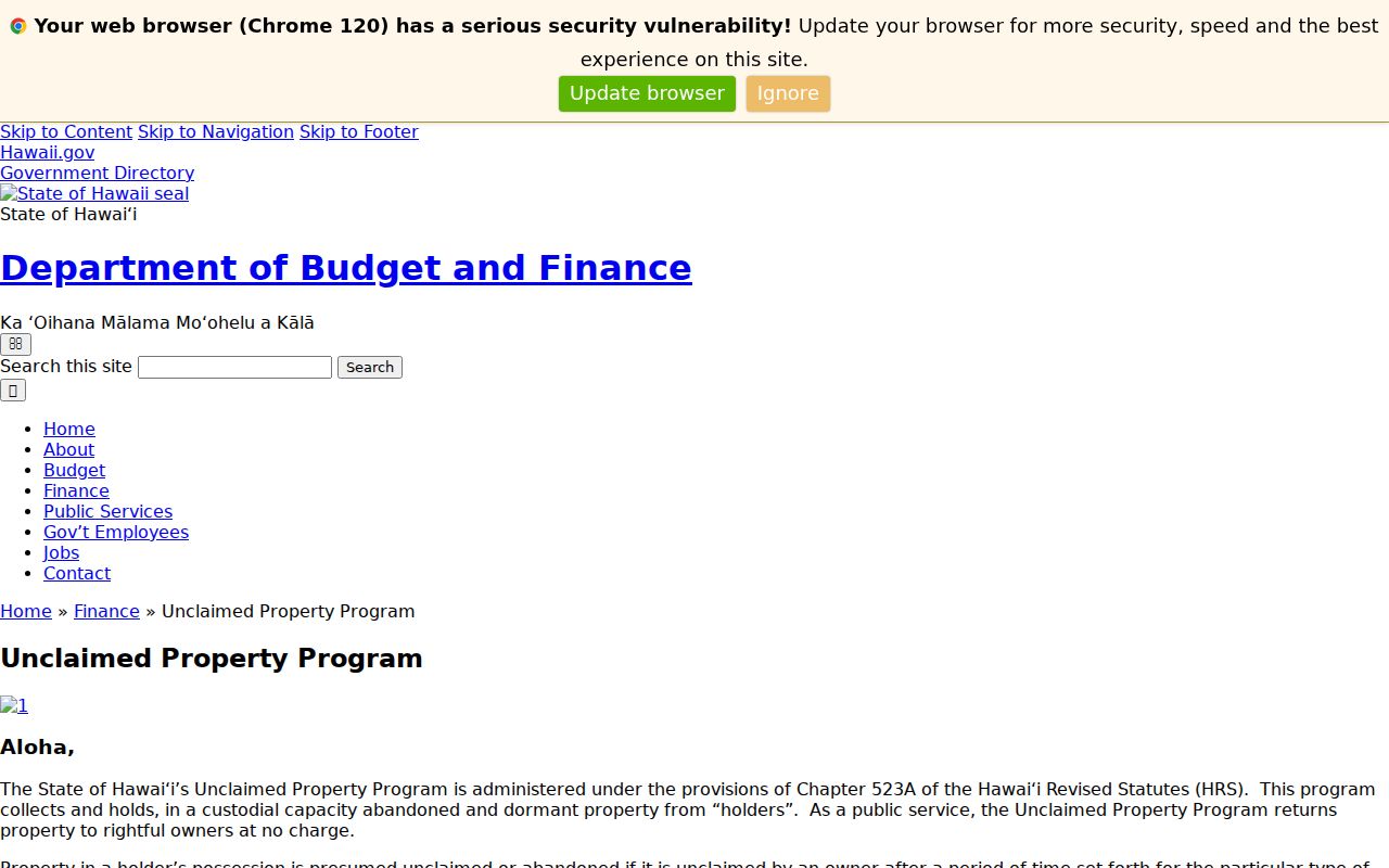
A possible match supports a claim by the owner or heir after proof is supplied. It does not identify neighbors, property ownership, or current residence.
Mililani Property Alerts Are Personal
The BOC Property Watch service can flag newly recorded instruments indexed under a chosen name.
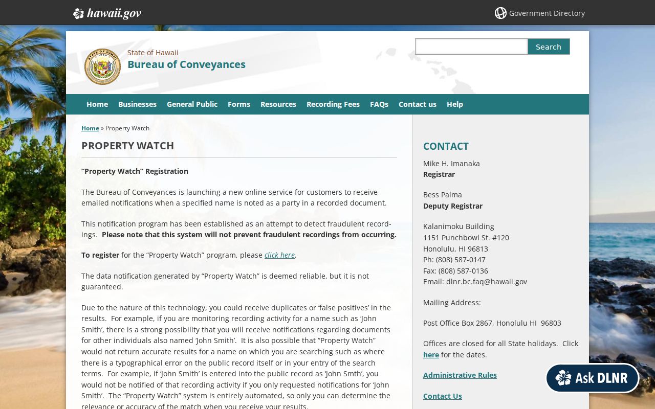
The captured service supports property-fraud awareness, not a neighbor tracker. An alert is only a prompt to inspect the instrument because common names can create false matches.
Hawaiʻi Protects Some Addresses
The Address Confidentiality Program supplies eligible survivors with a substitute address and mail forwarding.
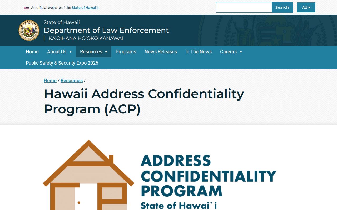
The program shows why missing or substitute data can be an intentional legal limit. Other controls include sealed courts, vital-record restrictions, motor-vehicle privacy, and protected-public-servant rules.
Privacy Limits for Mililani Neighbors
Utility, delivery, school, private MTA account, and full household data were not found as public resident lookups. Voter self-verification is identity-gated, while a public voter-file request follows election or government-purpose limits. Parcel owners, board speakers, and association contacts do not identify every current occupant.
Lawful use. Research Mililani Town neighbors for civic awareness, property curiosity, reconnection, or personal safety. Never use records to watch, harass, intimidate, or harm anyone.
Save a dated map and official links, then stop at the answer the record supports. Privacy is not a gap to work around.