
Finding Mililani Town Residents
Mililani Town has no municipal clerk or single resident roll. It is a census-designated place and planned community within the City and County of Honolulu. Start with the record keyed to what is known. A site address leads to the Real Property Assessment Division and HoLIS parcel map. A tax map key, or TMK, then links the parcel to permits and recorded instruments. A name can lead to the state deed index, eCourt Kōkua, an archive index, or a dated directory. Each source records a role, not a complete household.
The safest search keeps source dates and roles intact. An assessed owner may live elsewhere. A deed party took part in a land transaction. A voter file has strict purpose limits. A directory entry belongs to one edition and may omit people without a listed telephone or household heading. These limits make two-source checks essential.
- Standardize the address with USPS, then locate its parcel and TMK in HoLIS.
- Check the City and County RPAD record and note its assessment year.
- Search the Bureau of Conveyances index by TMK or recorded party.
- Use official court, archive, library, or election routes only when they match the lawful purpose.
- Request a specific existing record under UIPA when the index does not provide the file.
Mililani Town Records Custodians
The offices behind a Mililani Town residents directory are split between Honolulu and Hawaiʻi agencies. The state Bureau of Conveyances records land instruments for all islands, unlike places with a county recorder. Honolulu RPAD maintains assessment and parcel records. County Elections administers Oʻahu registration, while the state Office of Elections provides credentialed self-verification. These are offices in Honolulu, not Mililani municipal departments. Use the Mililani Town street directory when the question begins with one road or address.
DLNR Bureau of Conveyances
1151 Punchbowl Street, Room 120
Honolulu, HI 96813
808-587-0147
BOC Data Search
Honolulu Real Property Assessment
City and County of Honolulu
Oʻahu, HI
808-768-3799
RPAD Property Records
Mililani Town Parcel Keys
A reliable Mililani Town residents directory search often turns on the TMK. Honolulu GIS, or HoLIS, can connect an address to the parcel map, physical-address field, parcel type, recorded area, source records, and public report links. The official landowner layer was dated June 3, 2025 and is maintained on an approximate quarterly cycle. Its map is public-record data, not a legal survey.
Carry every TMK form forward, including leading zeros and any condominium-property digits. RPAD, DPP, BOC, and GIS may display the identifier differently. A map polygon may be a road, common area, or regulatory parcel rather than a home. Parcel type must be read before a person or place conclusion is drawn.
- Parcel
- A mapped land unit, which is not always a dwelling.
- TMK
- The tax map key used across Oʻahu land and permit systems.
- Situs address
- The physical location field, distinct from a mailing address.
- Index
- A finding list that points to a record but is not the full record.
Search Mililani Town Property Records
The City-linked property search accepts a site address or TMK/Property ID. Results can include current and past assessment data, tax class, relief such as a home exemption, land and building descriptions, lot size, living area, bedrooms, and bathrooms. Record the assessment year. A value or classification can change after the annual roll is set.
| Search field | Use | Read with care |
|---|---|---|
| Site address | Find parcel candidates | It is not an owner mailing address |
| TMK / Property ID | Open the exact parcel | Keep the full displayed format |
| Assessment year | Date the value and class | Not a live market statement |
| Exemption indicator | Shows an administrative claim | Not a household roll |
The City Clerk is a separate custodian for legislative, election, seal, and municipal records.
Open the Honolulu City Clerk source shown below.
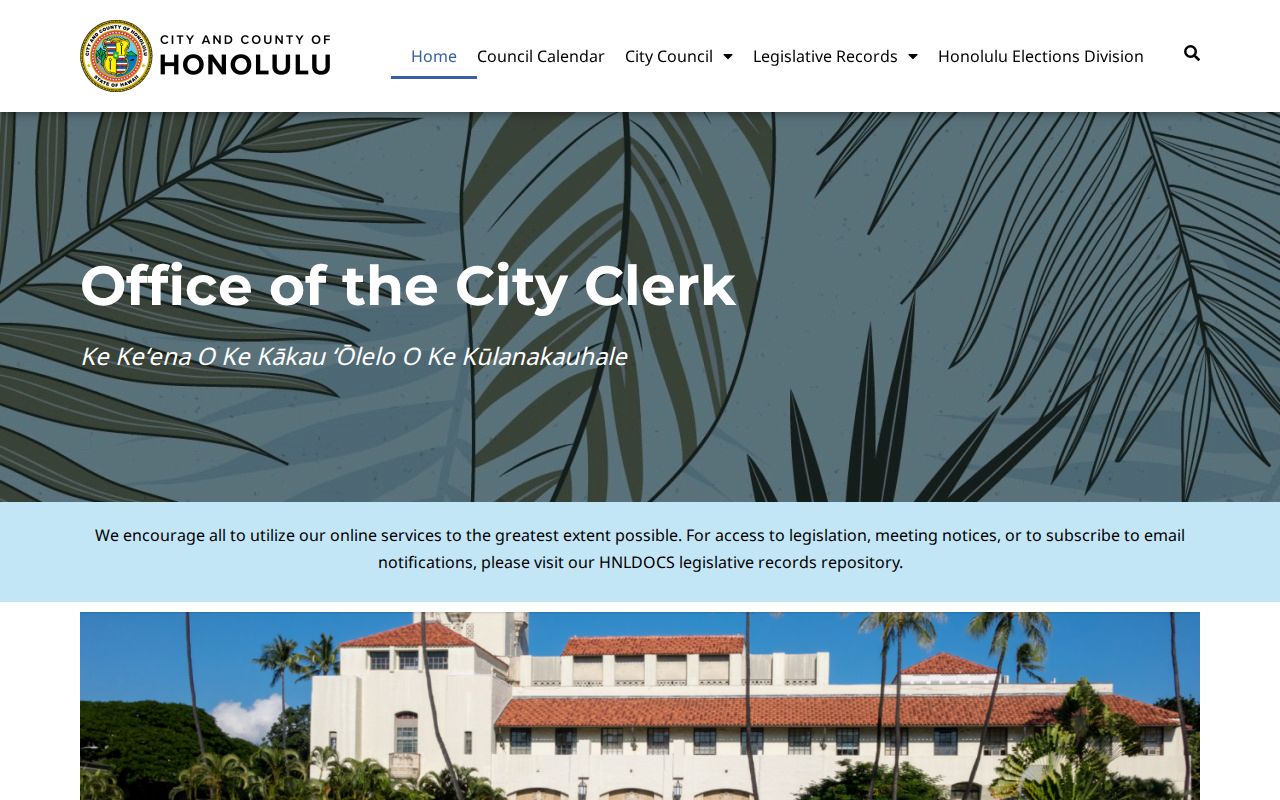
The source confirms that City records must be traced through Honolulu rather than a separate Mililani clerk.
Mililani Town Deed Index Trail
The Hawaiʻi Bureau of Conveyances keeps the state land-record system. Its online BOC Data Search covers indexing from 1976 forward and supports grantor, grantee, TMK, TCT, document number, and recording-date searches. Grantor means the party transferring an interest; grantee means the party receiving it. A TCT is a Land Court title certificate identifier.
Use a current TMK first, inspect the parties and instrument type, then reverse the party roles to follow earlier transfers. Trusts, estates, initials, entity names, and spelling variants can break a name-only search. The index is free to search with an account, while document images may require payment. Pre-1976 research moves to the BOC office, microfilm, deed books, or a written request.
View the BOC Data Search represented here.
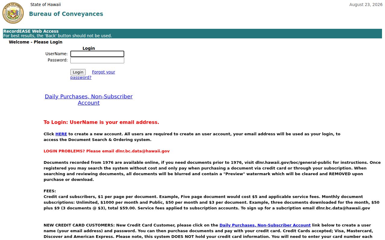
The search screen is a path to recorded instruments, not proof that a named party occupies the parcel today.
Current Mililani Town Directory Sources
No official current household roster exists for Mililani Town. Instead, narrowly defined public sources show owners, parties, registrants, case participants, or public civic roles as of a stated date. The distinction is crucial. MTA household accounts are private, and its public notices and meeting materials are not a membership list.
| Source | Who It Lists | Keeper | Access |
|---|---|---|---|
| RPAD roll | Assessed parcel roles | Honolulu RPAD | Public portal |
| BOC index | Recorded-instrument parties | State BOC | Index account; paid images |
| Voter file | Authorized public-list fields | Honolulu Elections | Purpose-controlled request |
| City records | Signatories and public participants | City Clerk | Collection or UIPA |
| MTA records | Public board and community material | Mililani Town Association | Public pages; accounts private |
For a single name, the Mililani Town resident lookup compares official roles without merging unrelated people. Commercial people-finder products compile data with uneven dates and accuracy. Official sources are narrower, but their custodian, field meaning, and correction route are visible.
Mililani Town Voter Access
Hawaiʻi Online Voter Registration is a self-verification and update tool. It requires first and last name, date of birth, the last four Social Security number digits, a Hawaiʻi driver license or state ID, and CAPTCHA. It does not return residents by name or street to a casual user.
A separate public-list request goes through Elections and must state an election or government purpose under HRS §11-97. Authorized fields can include name, principal residence, district or precinct, and status. Social Security numbers and state ID numbers are excluded. Hawaiʻi does not register party affiliation.
See the official voter verification form shown below.
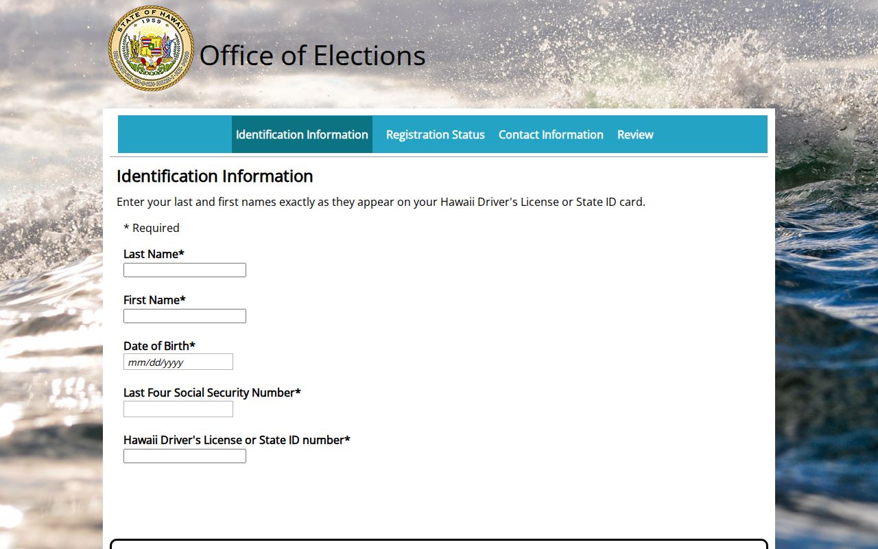
The identity checks show why this form should never be described as an open Mililani Town voter directory.
Request Mililani Town Records
Hawaiʻi's Uniform Information Practices Act, HRS chapter 92F, provides a route to ask an agency for an existing nonexempt record. A focused request should name the department, record type, date range, address or TMK, and preferred format. Agencies do not have to build a new resident compilation. They may segregate and redact protected parts.
The Office of Information Practices guidance describes response stages, search and review charges, waivers, and incremental production. The guidance lists a general fee framework of $10 per hour for search and $20 per hour for review, subject to current rules and waivers. Ask the custodian for an estimate before authorizing cost.
Review the UIPA guidance captured here.

The guidance supports a specific-record fallback when a portal omits the document or older material remains offline.
Mililani Has Five Footprints
“Mililani” can mean a USPS city label, Census CDP, Mililani Town Association community, Neighborhood Board area, or City parcel location. These boundaries do not line up by default. The main postal label reviewed is 96789. The Census identifies Mililani Town CDP separately from Mililani Mauka. Board 25 covers Mililani–Waipiʻo–Melemanu, while Board 35 covers Mililani Mauka–Launani Valley.
This is the local myth worth dropping: one Mililani label does not settle jurisdiction. Use USPS for delivery, Census for statistics, HoLIS for parcels, the NCO plan for civic boundaries, and MTA records for association matters. A memorial site can even carry “Mililani” in its name while using a Waipahu postal address.
See the Census Mililani Town profile captured below.
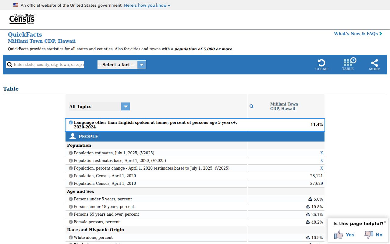
The Census profile dates population and land figures to a statistical footprint, not the ZIP or association.
Community records need the same boundary check. Mililani Town Association materials apply to its member properties and facilities, not every address that uses a Mililani postal label. Neighborhood Board minutes and notices document public civic activity across a wider board district, but they are not household rolls. School attendance areas also answer an education-boundary question rather than ownership or residence. Record the exact source beside each name or address. That small step prevents a result from one Mililani footprint from being treated as if it covered all five.
Historical Mililani Town Directories
The Hawaiʻi State Archives lists Honolulu directory volumes from 1869 through later Husted and Polk runs extending to 1987. Telephone holdings span roughly 1894 through 2001 with missing years and publisher changes. Early volumes predate the planned Mililani Town community, whose first homes date to 1968 in the cited development history, so older searches may require place names such as Waipiʻo, Kipapa, or plantation and land references.
A directory entry can show a printed name, role or occupation, business address, residence address, page, and edition. It cannot prove ownership, a full household, or current status. The full shelf, abbreviation keys, and year-to-year tracing method belong in the Mililani Town city directories collection.
Open the Mililani Town Association public source shown here.

MTA provides public notices and community context while keeping household membership behind private account access.
Mililani Town Vital Records
The Hawaiʻi Department of Health keeps modern birth, marriage, and death certificates. HRS §338-18 limits recent certificates to eligible people with a direct and tangible interest. Public index data is narrower, and historical genealogy access has separate age rules. The research found a statutory threshold of more than 75 years, while the current DOH operating page uses over 115 years, so confirm the route before ordering.
Archives holds selected early indexes, often arranged by island or name and incomplete by modern standards. A historical index points to an event; it is not the certificate. Divorce files are held through the First Circuit route after a February 2026 custody change. Adoption records remain sealed under HRS §578-15 except for narrow authorized paths.
Consult the DOH vital-record source captured below.
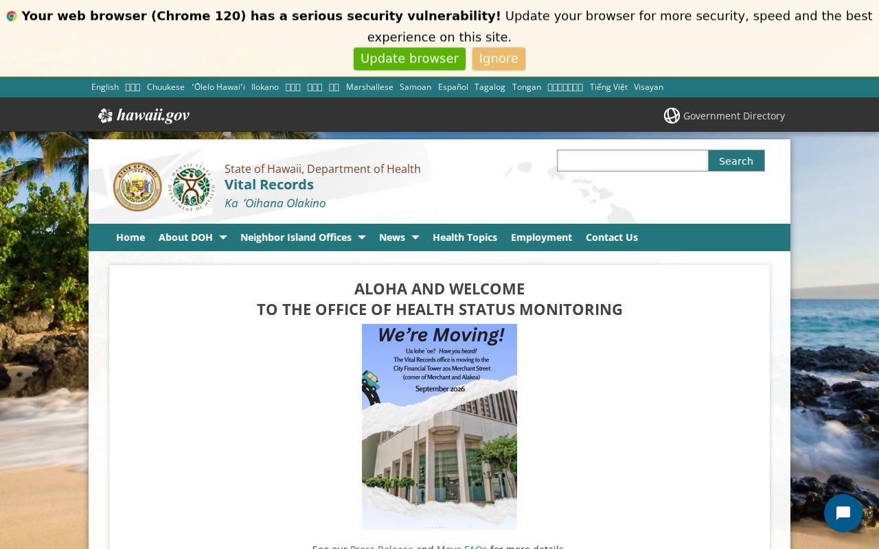
The official page sets eligibility and order channels; a directory match alone does not grant certificate access.
Protect Mililani Town Addresses
Hawaiʻi public access has firm safety limits. The Address Confidentiality Program gives qualifying survivors a substitute address and mail-forwarding route. Protected-public-servant rules, court sealing, vital-record restrictions, and agency redactions can also remove or mask home data. Never try to defeat a protected address by combining deeds, parcels, voter information, or old directories.
Lawful use. Use Mililani Town records for legitimate personal research, and never use an address trail to stalk, harass, threaten, or harm anyone.
A public index may be stale, incomplete, or tied to a legal role rather than residence. Preserve the inspection date and ask the custodian to correct an official error. For a transcription error, keep the source citation and correction record. The Mililani Town residents directory works best as a map to custodians, not a claim that every visible connection is current.