
Mililani Previous-Resident Sources
No single roll names all previous residents of a Mililani Town address. Modern parcel and deed systems supply a TMK and recorded parties. Directories and phone books can add address-linked names. Census, permits, papers, and maps test whether those clues fit the same place.
| Source | Years It Covers | Where Held | What It Shows |
|---|---|---|---|
| BOC online index | Recorded 1976 forward | BOC Data Search | Deeds, mortgages, parties, instruments |
| BOC historical records | Holdings from the 1800s | Office, books, microfilm, request | Grantor, grantee, TCT, instrument |
| City directories | Selected 1869 through 1987 series | Archives, UH, HSPLS | Name, role, residence or business |
| Telephone books | 1894 through 2001 series, with gaps | HSPLS and UH | Subscriber and service-address clue |
| Census schedules | Hawaiʻi from 1866; federal from 1900 | Archives, HSPLS, NARA | Household, age, status, occupation |
| Permits, papers, maps | Coverage varies | DPP, HSPLS, Archives, UH | Project roles, events, footprint |
Start with HoLIS and RPAD for the present parcel, then use BOC for the recorded chain. Earlier work moves to the BOC counter, deed books, or microfilm and then into local directory and archive collections.
Start Mililani History With TMK
Enter the address in Honolulu GIS and retain the TMK, parcel type, physical address, recorded area, and source fields. A polygon may be a home lot, CPR unit, common area, road, or regulatory parcel. The parcel-type code must be read before assuming the click represents a house. Then use the Real Property Assessment Division route by site address or TMK. Assessment year, class, land and building details, and exemptions frame the parcel but do not identify every occupant.
Preserve every TMK form. DPP may add a leading island digit, and CPR units may add digits. Leading zeros and punctuation can matter when the same parcel moves between GIS, property, permit, and deed systems.
Trace Mililani Deeds Backward
Hawaiʻi uses the state DLNR Bureau of Conveyances, not a county recorder. Its online index begins with 1976 records. Search the current TMK in BOC Data Search, inspect grantor and grantee results, and keep the document number, recording date, instrument type, indexed parties, and image status.
- Copy the exact TMK and legal identifiers from the current parcel record.
- Find the latest relevant conveyance, then separate it from mortgages, releases, easements, and declarations.
- Reverse the parties. Search the seller as an earlier grantee and test trust, estate, entity, initial, and spelling variants.
- Repeat until the chain reaches the online cutoff.
- For older material, use the BOC office, deed books, microfilm, or written request.
- Grantor and grantee
- The grantor transfers an interest; the grantee receives it.
- Chain of title
- The linked sequence of recorded transfers affecting the same land.
- Legal description
- The land identifier in the instrument, useful when a street name or number changes.
- TCT
- A Transfer Certificate of Title identifier used in Land Court records.
A deed proves a recorded legal transaction, not who slept at the address. Compare an instrument image with the parcel and later occupant sources before calling anyone a previous resident.
Older Mililani Deeds Go Offline
The official BOC research guidance explains why a pre-1976 search becomes an office, book, microfilm, or written-request task.
The captured page marks the online cutoff. A written request should state contact details, document or book/page if known, parties, record type, certified-copy choice, payment, and a self-addressed stamped envelope. The cited guidance lists $35 per document plus $10 processing, but the charge should be confirmed.
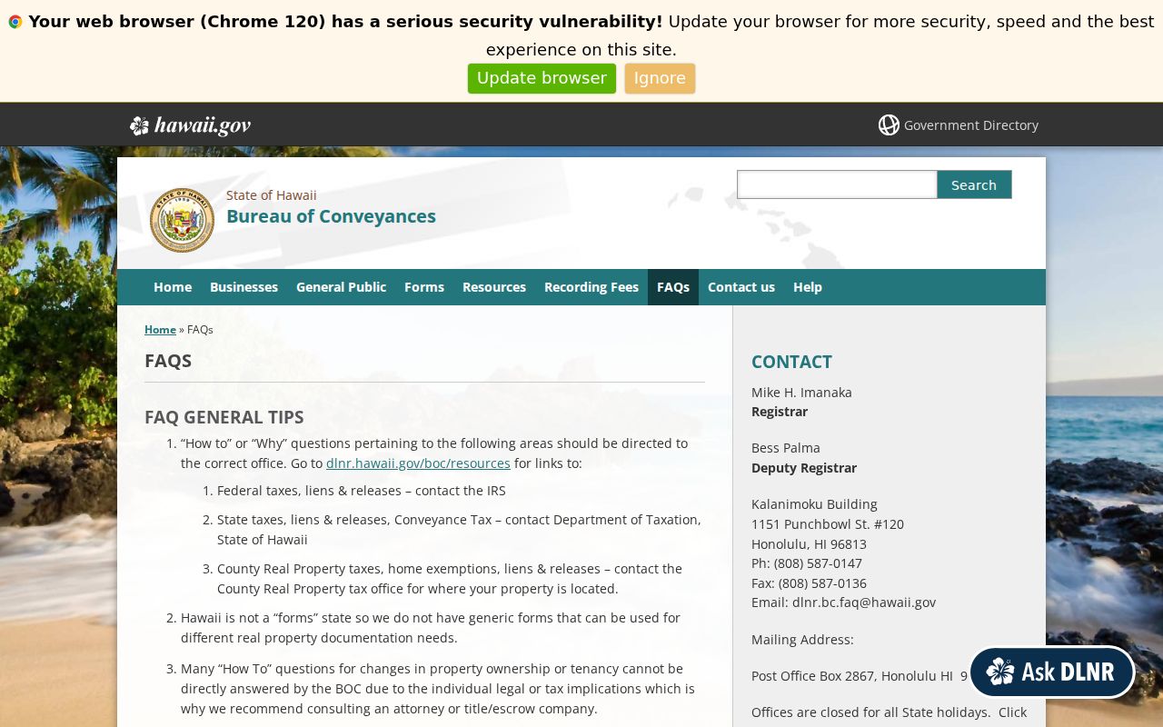
The BOC landing page identifies the state custodian and service routes.

This is an insider distinction worth keeping: the current tax parcel can be instant to find while the earlier deed chain remains manual.
Mililani Development Shaped Records
The land trail is older than the planned community. A state historical narrative places the first marketed Mililani Town homes in 1968. The 1978 expansion EIS documents roads, infrastructure, and land change, while the cited chronology places Mililani Mauka construction in 1990. These are development milestones, not build dates for every house.
| Year | Why it matters |
|---|---|
| 1968 | First-home milestone in the planned-community account |
| 1976 | BOC online index begins |
| 1978 | Expansion EIS adds planning context |
| 1990 | Mauka construction milestone, separate from Town |
Subdivision, consolidation, CPR creation, common-area dedication, or road reclassification can also alter the chain. Follow the event and legal parcel, rather than attaching every older party to today’s address.
Building permits provide another dated checkpoint. DPP directs researchers to obtain the TMK through GIS and search permits by that identifier or by application number. Records before January 1972 may be absent from the modern route. A permit can name an applicant, owner role, project, approval, or plan review, but it does not prove that the named party occupied the home.
When a current parcel has no clean match in older files, compare its source documents and plat context with the expansion record. The older instrument may describe a larger parent tract rather than today’s lot. Record the subdivision event that bridges the two. Do not force the modern street number into a deed that predates the road.
Pair Mililani Directories and Census
Printed sources can add occupants a deed never names. From 1908 forward, use the street index to turn an address into a name, then verify the alphabetical entry. Phone books add subscriber clues, but an omission can mean no service, a privacy choice, a business listing, or a missing edition.
- Choose the directory year nearest the event and record its publisher, edition, page, and exact street spelling.
- Check the address section, then confirm the name and labeled role in the alphabetical section.
- Move to the nearest released census and compare place, household, age, and role fields.
- Test the match with a deed, permit, dated paper, map, or later directory.
The source collections are covered on the Mililani Town city directories page. Keep residence, business, subscriber, owner, and grantee as separate labels.
Old Mililani Addresses Need Maps
The Historic Hawaiʻi Foundation house-history guide joins deeds, directories, permits, maps, newspapers, and archives. It warns about changed street names, renumbered houses, obsolete landmarks, and address errors. Mark an old-to-new match as an inference until a map, deed, permit, paper, or City record supports it.
Search newspapers with Mililani, Waipiʻo, Melemanu, Kipapa, a street, subdivision, and date range. Retain the paper, publication date, page, and item type. Sale notices, building news, obituaries, and civic reports can date a clue, but none substitutes for a deed or certificate.
Historic fire maps can show a footprint, lot line, number, construction material, and nearby landmark. Their Oʻahu series include Lion, Dakin, and Sanborn editions from 1879 through 1955, with uneven area coverage. A missing sheet does not prove that a structure was absent. It only defines the limit of that map set.
Confirm Mililani Past Households
Obituaries, cemetery notices, probate matters, and vital indexes can close a previous-resident trail, but their access and legal weight differ. Mililani Memorial Park supplies a private obituary lead even though its postal address uses Waipahu. Verify a death event through Hawaiʻi DOH or Archives when eligibility and the record’s age permit. First Circuit holds probate files.
The Hawaiʻi State Archives genealogy guide explains historical indexes and request routes.

The captured guide is an access point, not final proof. Request the underlying item when a match matters, and record a restriction or missing volume instead of filling the gap with a guess.
Lawful use. Research previous residents for house history, genealogy, estate work, or personal curiosity. Never use an address trail to track, harass, or harm a living person.